Lyngsjön Lake Fieldwork
This page is the direct visit record for the fieldwork point published in the Nordic Evidence Atlas. It ties one visible atlas point to one checked-in visit, with one photo and one video from the day stored in this repository.
The purpose is not to dramatize a single outing. The purpose is to make the logic of the site more honest. If the atlas shows a fieldwork point, a reader should be able to follow that point back to a real documented visit and judge for themselves what the repository is actually claiming.
Visit Evidence Model
flowchart TB
    point["atlas point"]
    record["visit metadata"]
    photo["field photo"]
    video["field video"]
    claim["inspectable direct visit claim"]

    point --> record
    record --> photo
    record --> video
    photo --> claim
    video --> claim
This page should let a reader verify one direct-evidence claim with very little friction: the published point corresponds to a real visit, on a real date, at one stated location, with repository-owned media that can be inspected directly from the site.
Visit Record
- lake: Lyngsjön Lake
- country: Sweden
- regional setting: southwest of Kristianstad, in a landscape where pollen, archaeology, and ancient-DNA questions can be read together rather than in isolation
- field date:
2026-02-26 - atlas coordinates:
55.9319529, 14.0659044 - atlas layer label:
Fieldwork documentation - atlas point title:
Lyngsjön Lake field sampling
Why This Place Matters
Lyngsjön is not presented here as a random stop. It is a sensible starting point because the surrounding area is unusually rich in the kinds of evidence this repository is trying to hold together: pollen context, archaeological context, and ancient DNA all matter nearby. That combination makes the area a useful candidate for early fieldwork documentation.
Starting here does not prove that the whole repository is mature, and it does not make one visit representative of a region. What it does provide is a clear place to begin: an area with genuine cross-evidence interest, where a reader can see the project move from mapped interpretation back to an actual visit in the landscape.
Repository Evidence
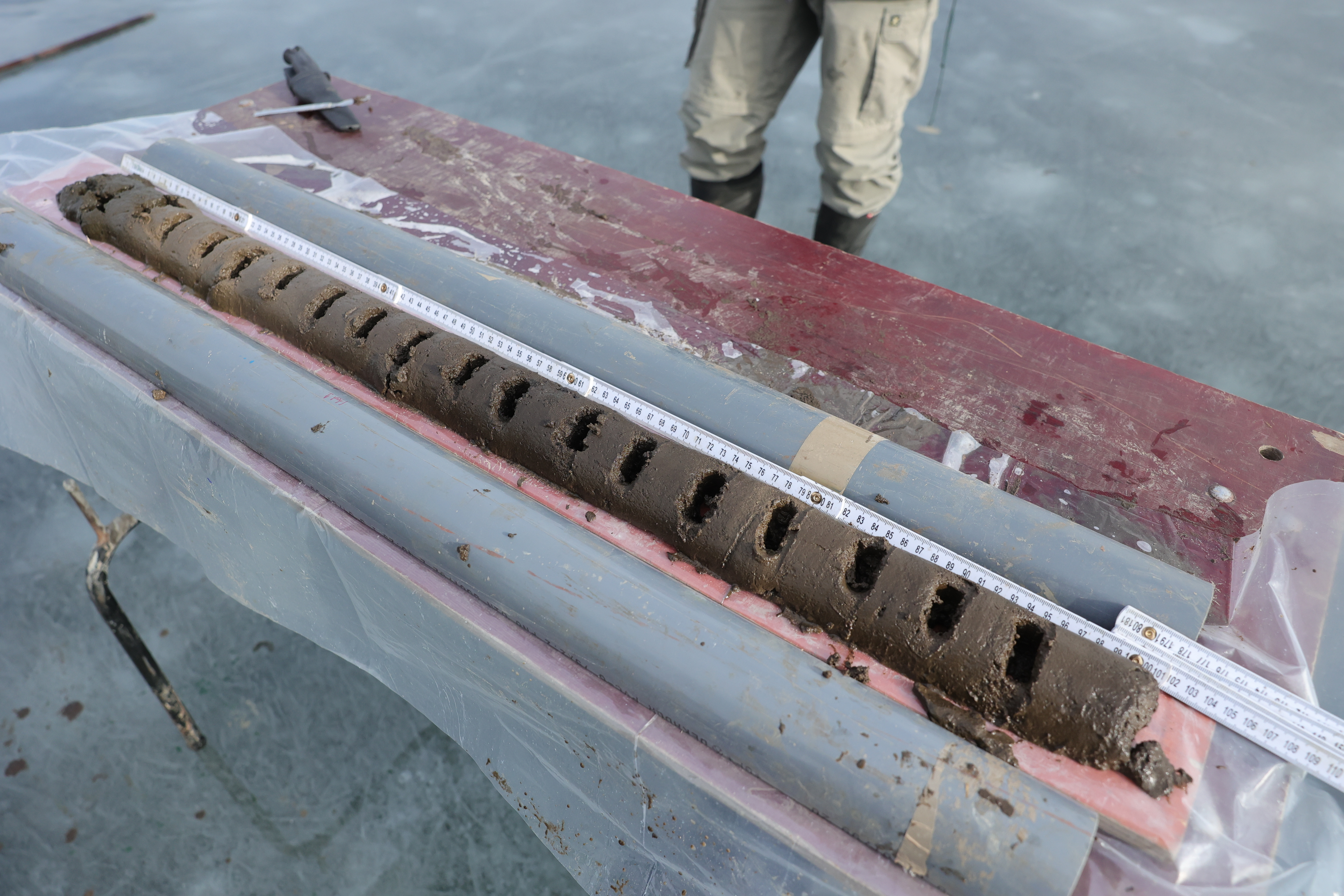
- photo:
docs/gallery/2026-02-26-data-collection.JPG - video:
docs/gallery/2026-02-26-data-collection.mp4 - Nordic evidence surface:
docs/report/regions/nordic/nordic_map.html - world parent surface:
docs/report/world/world_map.html
Open the Nordic evidence surface Open the world parent surface Open the field video Open the field photo
How To Read This Evidence
- a documented visit happened at the published location on
2026-02-26 - the repository keeps direct media for that visit rather than referring only to derived map output
- the atlas can link to repository-owned field evidence instead of depending entirely on upstream database layers
- this visit strengthens the inspectability of one place; it does not by itself settle wider scientific claims about the whole region
Why Only One Photo And One Video
This page shows only one photo and one video on purpose. That is enough to make the visit concrete without turning the public site into an uncurated gallery. The goal is clarity, not volume.
If you are especially interested in the visit and would like to ask about more
photos or video from the same day, send an email to bijan@bijux.io.
Design Pressure
The common failure is to read a documented visit as representative field coverage rather than what it really is: one inspectable anchor for one atlas point in an evidence-rich candidate area.
Boundary
This page does not turn the atlas into a field-log archive, and it does not imply that one visit is representative of regional pollen evidence, regional archaeology, or the current state of ancient-DNA recovery. Its job is more precise: make one real visit inspectable, understandable, and honestly framed.